

Most commercial property policies are underpriced.
Not all of them. Not intentionally. But when the building valuation on file is from 2021 and replacement costs have risen 40% since then, when the catastrophe model was last updated before the latest hurricane season, when wildfire risk has shifted faster than the property data, the premium charged doesn't match the risk covered.
Nallas, a geospatial AI firm, found that 87% of commercial buildings are currently undervalued, with insurance-to-value gaps commonly exceeding 30%. That's not a small variance. On a $5 million building, a 30% undervaluation is $1.5 million in exposure the insurer didn't price for.
What drives this gap between model and reality?
Catastrophe models take years to build and validate. A carrier invests in a model suite, licenses it, and uses it to anchor pricing for 18 to 24 months before a major update. During that window, the real world changes. Climate patterns shift. Extreme weather events reshape risk profiles. Replacement costs move. Flood maps get redrawn.
Property data moves even slower. Building valuations are typically refreshed on 3 to 5 year cycles. An underwriter reviewing a commercial property quote gets information that's two to four years old as the baseline for current replacement cost. Meanwhile, construction labor has tightened, materials have moved from surplus to scarcity, and supply chain delays have added months to every project.
The result is systematic underpricing of current exposure using information frozen in time.
Geospatial data like satellite imagery, aerial inspection data, permit records, and climate monitoring could close this gap. But most insurers don't have it flowing into the underwriting system at the moment a decision is made. The data exists. The models exist. They live in separate places.
Why is this a bigger problem in a changing climate?
In a stable climate, historical patterns predict future risk with reasonable accuracy. A property's flood exposure in 2026 resembled its flood exposure in 2020. That stability gave underwriters room to work with older data and still make informed decisions.
Climate change breaks that assumption. Risk is becoming more localized and more variable. A region that saw once-every-100-year events is now seeing multiple major events per decade. Flood patterns are shifting. Wildfire seasons are arriving earlier and lasting longer. Heat exposure is moving north and uphill. Static risk models, updated on a fixed schedule, can't keep pace with that rate of change.
An underwriter pricing property today using a 2023 catastrophe model isn't just working with slightly outdated information. They're working with information that reflects a different climate regime than the one the property will experience over the next few years.
What would it take to make pricing reflect current exposure?
Three layers need to be current and accessible at the point of underwriting review.
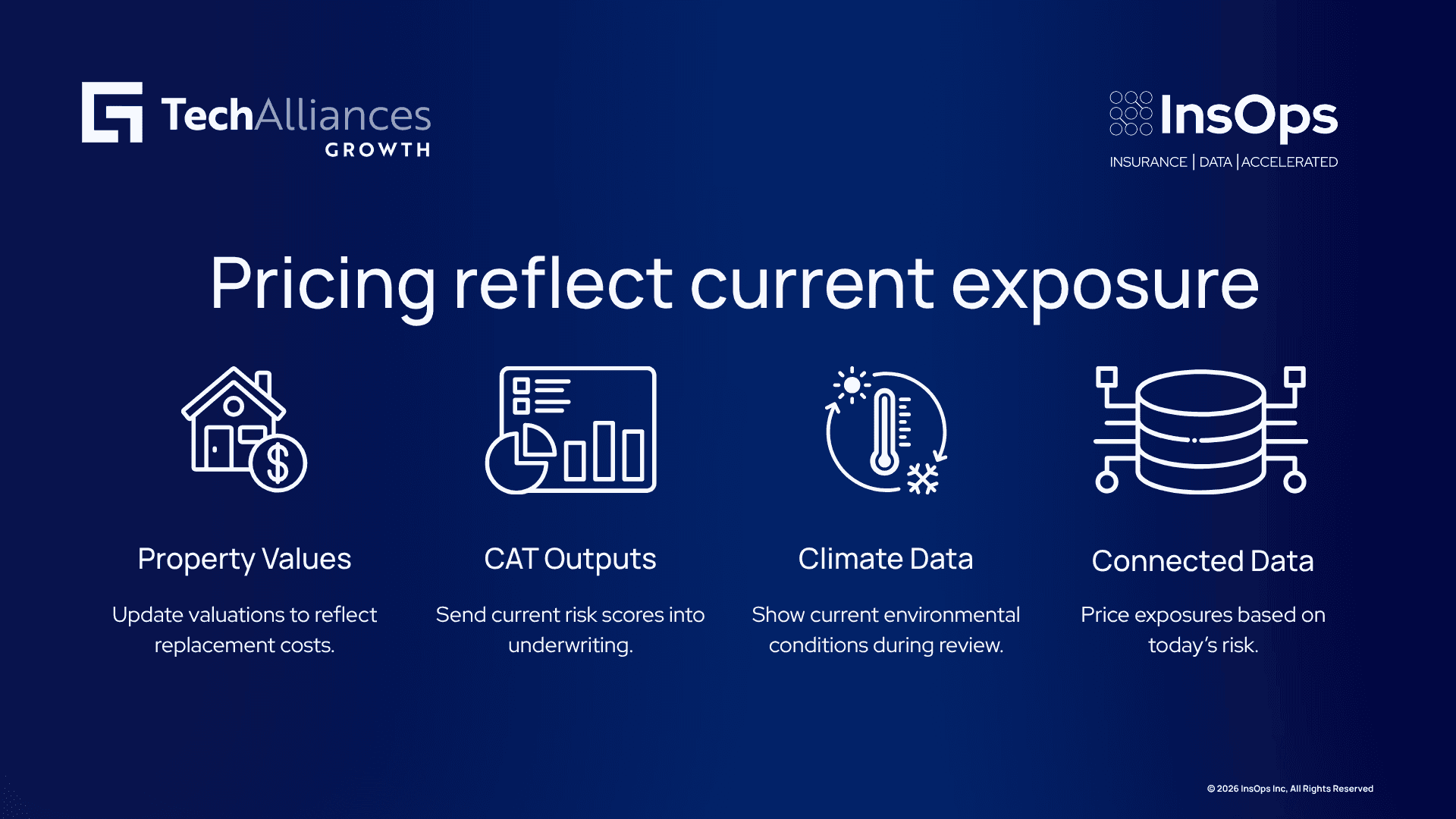
First, property-level valuations need to reflect current replacement costs, not cycles. Satellite imagery and automated valuation models can now update building valuations in near-real-time, identifying recent improvements, construction cost escalation by region, and replacement cost that actually matches 2026 construction markets rather than 2021.
Second, catastrophe model outputs need to flow directly into the underwriting system. When a carrier's risk score, loss modeled, and hazard exposure are calculated fresh for each quote rather than pulled from a pre-built lookup table, pricing reflects what the model says the risk actually is, not what it said six months ago.
Third, real-time climate and environmental monitoring data (current precipitation patterns, soil moisture, wildfire risk indices, hazard maps) needs to be visible during review. A property in a region currently experiencing drought has different flood risk than the same property when that region has normal moisture. A property near an active wildfire perimeter is a different risk than the same property when conditions are normal.
When all three are current and connected at review time, an underwriter can price based on what the exposure actually is today.
How InsOps helps
InsOps has this kind of capability inside LiLa: pulling real-time geospatial and catastrophe modeling data into underwriting so pricing reflects current climate and property exposure. Because LiLa is trained on insurance data models, it can interpret what geospatial fields like hazard proximity, building condition, and replacement cost mean in an underwriting context rather than treating them as generic spatial data.
Contact us to talk through what this could look like for your underwriting operation.
FAQ
Doesn't every carrier already use catastrophe models in underwriting?
Yes and no. Most carriers use catastrophe models for portfolio-level capital calculations and reinsurance pricing. But those outputs often don't reach individual underwriters during quote review. Instead, underwriters apply a pre-calculated rate factor or surcharge based on a model run from months earlier. Real-time integration (where the model runs fresh for each property and surfaces the output at the moment the underwriter is pricing) is less common, particularly for smaller and mid-market carriers.
How accurate are satellite-based property valuations?
Modern satellite imagery can identify roof type, condition, and material at property scale. When combined with permit records and local construction cost indices, automated valuations now achieve 80-85% accuracy relative to appraisals. That level of accuracy is sufficient for risk-scoring and rate guidance, though carriers typically still use traditional valuations for the most complex or high-value properties.